
Hays County Neighbors by Block Source
Hays County neighbors can mean adjoining parcels, a historic block, the same CONA boundary, a shared ZIP, or nearby addresses. Each definition uses a different source. Parcel geometry identifies land that touches or lies near a selected polygon. A property account can provide assessment context. A neighborhood layer shows civic geography. Historical directories and maps add a dated view. None of these records creates a current household roster, so keep the question and source together.
| Source | What It Shows About a Block | Access |
|---|---|---|
| Hays GIS parcel layer | Adjoining polygon geometry, road frontage, and parcel display metadata. | County GIS hub or feature-service browse and query. |
| Hays CAD and tax accounts | Assessment owner, parcel context, and sometimes separate situs and mailing fields. | Public search and advanced tax search. |
| San Marcos CONA layer | Mapped association boundary and the `ASSOC` field. | Public ArcGIS feature layer, updated May 31, 2022. |
| EagleWeb plat and block fields | Recorded subdivision, block, lot, and legal-description clues. | Recorder index; image access varies. |
| Sanborn and directory material | Historic building, street, and dated address clues. | Library Local History resources and archive collections. |
An assessed owner is not automatically an occupant, and a mailing address may be elsewhere. For Hays County neighbors, label a result as a parcel, map boundary, assessment account, historical address clue, or civic contact instead of combining the categories into one claim.
Hays County Parcel Neighbors on Maps
The Hays County parcel service is a map layer, not a title or occupancy system. Its parcels are polygons, and its display field is `OWNER_NAME`. The service supports standardized query formats including JSON, GeoJSON, and PBF, but the research does not establish that every viewer exposes a radius or buffer tool. If a live viewer offers a select or measure control, record its label and the layer date. The parcel source includes a February 2022 acquisition note, which is one reason a Hays County map result should be saved with its date.
The Hays County parcel-layer record identifies the geometry and owner-display field used for block research.
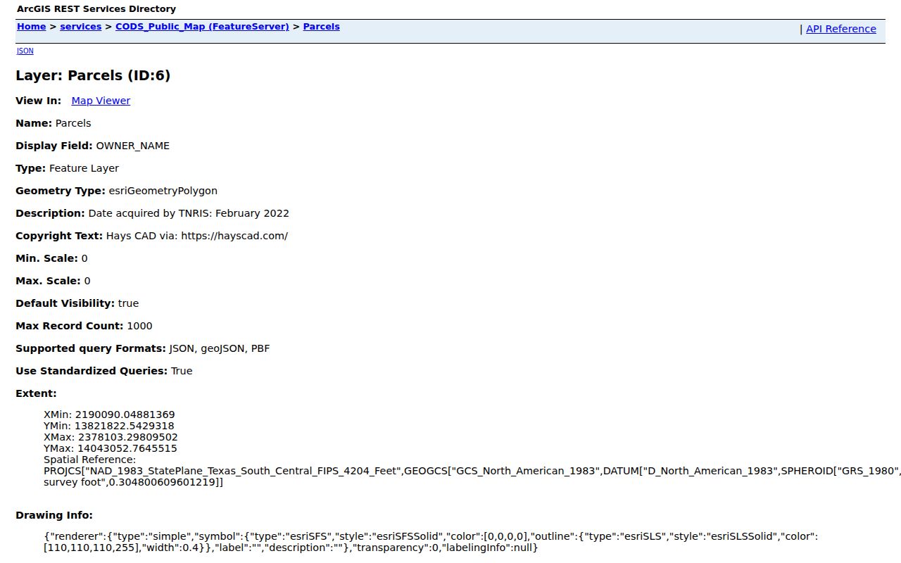
Clicking adjacent polygons can show the geography around an address. It cannot prove that a displayed name lives there, and it should not be used to construct a list of household members.
Hays County Neighbors in CONA
San Marcos uses the Council of Neighborhood Associations layer for a civic map, not a legal parcel boundary. Its `ASSOC` value and mapped shapes can help answer whether an address falls inside a listed association area. The layer was updated May 31, 2022. The research identifies Eastern, Heritage, Northern, Northwest Hills, Western, and Willow Creek groupings, while city materials also name places such as Dunbar/Heritage, East Guadalupe, Victory Gardens, Blanco Gardens, Hills of Hays, Wallace Addition, La Cima, Kissing Tree, and Trace.
The San Marcos CONA boundary layer supplies the dated map context for Hays County neighbors.
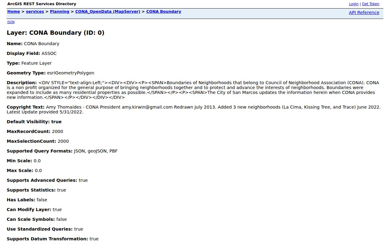
A civic association boundary can be useful context for a block. It does not replace a recorded plat, a parcel line, a city-limit determination, or evidence that any named person belongs to the group.
Hays County Neighbor Association Routes
Public association information in Hays County is mostly a route to a map, certificate, or meeting record. The Texas certificate search can return association names, city, county, ZIP, and type. It does not provide a complete membership roster or proof that an association controls a given parcel. San Marcos Community Meetings, the Neighborhood Commission agenda category, and SMPD Community Conversations provide civic contact or public-meeting paths, not a directory of residents.
| Public route | Hays County examples | What the record can support |
|---|---|---|
| CONA map | Eastern, Heritage, Northern, Northwest Hills, Western, Willow Creek | Mapped civic boundary and association label. |
| Texas HOA certificate search | Pradera, Stoneridge, The Porch at Du Pre, Medlin Creek Ranch, Persimmon Master, Rutherford West, Overlook, West Cave Estates, and Park 35 South | Association filing clues, not membership or parcel proof. |
| San Marcos Community Meetings | Downtown, Dunbar/Heritage, East Guadalupe, Rio Vista, Victory Gardens, Blanco Gardens, Hills of Hays, Sunset Acres, and Wallace Addition | Sector and public civic contact context. |
For a boundary explanation or meeting packet, use the published city contact route. San Marcos Neighborhood Enhancement is listed at 512-393-8440, SMPD Community Conversations at 512-753-2108, and county GIS at 512-393-2160.
Map Hays County Neighbor Parcels
Map a Hays County block in a reproducible sequence. First normalize the street number, direction, suffix, postal city, and ZIP. Locate the input address in the GIS map, then select its polygon and record the feature or parcel identifier. Inspect polygons that share a boundary or sit across the road, keeping the geometry separate from the owner display. Cross-check a selected parcel in CAD, the Tax Office search, and EagleWeb only when the question concerns an assessment account or recorded legal description.
- Find the situs address in the county GIS map and save the parcel feature identifier, road context, layer URL, and date.
- Click the surrounding parcel polygons and record only the adjacent geometry and displayed identifiers needed to reproduce the map view.
- Compare a selected polygon with CAD or tax data. Label any address shown as situs or mailing, and do not treat a mailing field or exemption as proof of occupancy.
- Use EagleWeb subdivision, block, lot, or plat clues if the parcel needs a recorded-description check. A replat, split, easement, or survey can explain a map difference.
- Compare the parcel location with a CONA boundary, city limit or ETJ map, and USPS result when the meaning of “nearby” depends on civic or postal geography.
For a full named-street record trail, use the Hays County street directory. The block method stays focused on adjoining or nearby parcels, where geometry is clearer than a claim about residents.
Hays County Neighbor Boundary Meanings
Common misconception. Every map that uses a neighborhood name describes the same place. An adjoining parcel, same historic block, same CONA boundary, same ZIP, and nearby address are separate geographies. Parcel polygons show physical features. The CONA layer shows a civic area. USPS identifies delivery assignment. EagleWeb and directories can add historical address clues. A Hays County address can also sit near a city limit, ETJ, or postal-city boundary, which makes a label less precise than a map and date.
Compare the USPS ZIP Code Lookup result with county GIS, CAD, tax data, and the applicable municipal address or planning map. Retain the disagreement when sources differ. It may reflect a mailing convention, a boundary distinction, an older parcel layer, or a historical address rather than an error.
Hays County Neighbor Source Limits
Official Hays County records and commercial neighbor-lookup tools do different things. An official map or recorder index names the custodian, field, and date, which makes a result easier to verify. Commercial tools are a category that may compile public and purchased data, and their results may be stale, mismatched, or missing the local record context. Neither category is a substitute for direct contact, a current custodian record, or permission from the person concerned.
| Source category | Useful for | Limit to preserve |
|---|---|---|
| Official parcel, CAD, tax, and recorder records | Named field, parcel, assessment, or recorded-instrument context with a custodian. | Owner or document data does not establish current occupancy or household relationships. |
| Official civic maps and meeting pages | Neighborhood boundary, association label, sector, meeting, or public contact route. | A civic listing is not a membership roster or address proof. |
| Commercial neighbor-lookup category | A possible lead to verify independently. | May be stale or mismatched; do not treat it as official or combine it into a personal dossier. |
Texas voter search is also limited. Hays County's official lookup requires a name plus date of birth or a VUID plus date of birth, rather than providing an open street list. Protected addresses and confidential identifiers stay out of a responsible Hays County neighbors search.
Hays County Neighbors Data Requests
Use the custodian when a map cannot resolve a boundary. County GIS accepts map and data requests and provides 9-1-1 address, verification, road-layout, and road-naming forms. Municipal planning can address a specific map, permit, or historic context question. A Texas Public Information Act request can seek an existing non-exempt map, meeting packet, or administrative record, but it does not require an agency to create a custom profile or disclose private member information.
A focused request names the agency, map or record category, address or boundary, date range, desired inspection or copy format, and the source conflict being checked. The Hays County Clerk routes county public-information requests through GovQA or the Office of General Counsel. For historical block context, the library and archives route remains Sanborn maps, directories, and newspaper material.
Note: Save the original address, map-layer date, parcel identifier, boundary label, and custodian response so a later Hays County check can explain a changed result.
Hays County Neighbor Privacy Limits
A Hays County neighbor search has firm boundaries. Renters and other household members are not supplied by the parcel layer. Utility-customer data is not a general public directory. The driver-record privacy law restricts motor-vehicle data. Texas voter protections can replace a protected address with `***`, and confidential identifiers such as SSNs and driver-license information are not for publication. A map, tax result, voter record, obituary, and phone entry should never be merged into an unverified personal dossier.
Texas's Address Confidentiality Program and voter protections cover people affected by family violence, sexual assault or abuse, stalking, trafficking, and certain qualifying officials. Government Code protections can also apply to home addresses, phone numbers, dates of birth, and family details in records. When an official record appears to expose a sensitive field, contact the custodian about its current redaction or correction route rather than reposting it.
Lawful use. Hays County neighbors research can support civic curiosity, reconnecting, and a better understanding of a block. Do not use it to watch, harass, intimidate, or harm anyone.